
Capitol Reef National Park
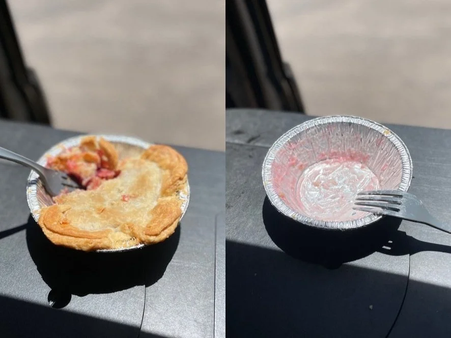
Look the cherry pie isn’t the best thing about Capitol Reef National Park, but it’s up there. And you’d be hard pressed to find a better pie inside another Park. The truth is people flock to this lesser-known Utah Park for more than just pie, but they also flock here for the pie.
At this point in the trip, we were about to take a second trip to urgent care for a non-life threatening, but serious issue. The illness didn’t stop the trip, but it did turn some nights that were meant to be spent in the campervan into nights in local hotels. It also meant a few days in bed for some of these intrepid hikers and explorers. We’re choosing not to discuss the illness in detail, but we are great full that everyone eventually felt better, and we were able to continue the trip. The lesson is that you have to be ever flexible.
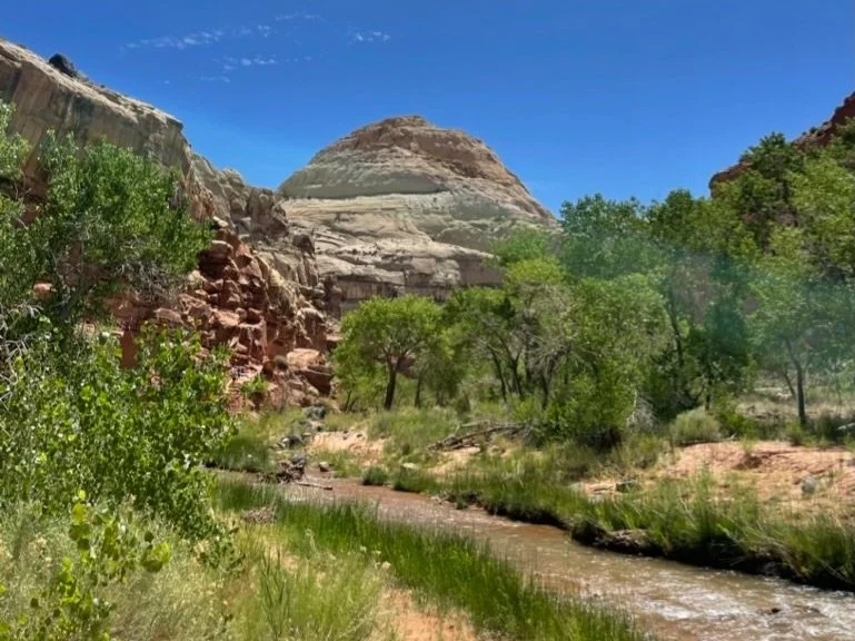
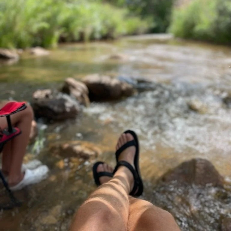
We did get set up for a day at Fruita Campground in the middle of Capitol Reef before abandoning camping for a hotel. The spot we scored was adjacent to a cool mountain stream that served as a nice place to soak our feet and read a book for a bit. And we’d make our way back to this area in future days.
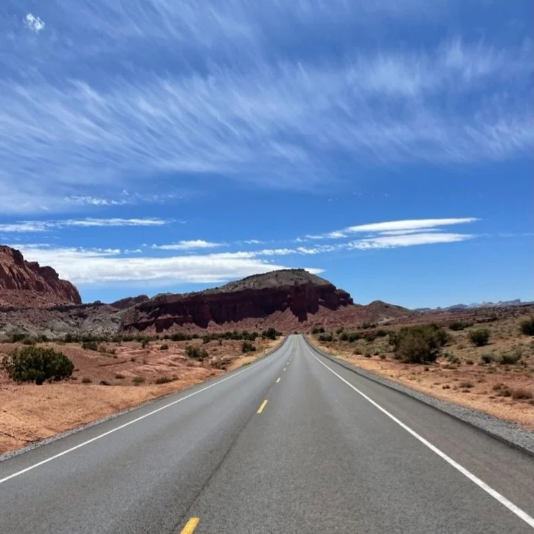
It was at Capitol Reef that we realized how different the National Parks in Southern Utah really are. From a distance you just think brown landscapes and rock formations. You imagine the image of Delicate Arch on the license plate, and you assume that they are all cool, but similar to that. It’s simply not true — but the differences can be elusive to the casual observer. That’s because the differences are actually geological.
If you ever wanted to be an amateur geologist, Southern Utah is for you, and the Parks are where you’ll get your education. Be sure to listen to the Rangers as they explain what millions of years of reformation of land has done to this area. At Capitol Reef, it’s the Waterpocket Fold.
The Waterpocket Fold is a dramatic geological formation on which Capitol Reef National Park is centered. It is a large, steep, and curved wrinkle in the Earth's crust that stretches for nearly 100 miles. Formed by millions of years of tectonic activity, the fold is characterized by layers of colorful rock that have been tilted, creating a "fold" or bend in the landscape. This geological feature is a key element of the park's stunning landscape, contributing to its rugged and diverse terrain.
For this reason, the Park’s outline is very long and skinny, following the Waterpocket Fold south-southeast. The boundary area of the Park actually stretches over 70 miles. We explored a bit of it by heading south on scenic drive to Capitol Gorge. Just when you think you’ve covered a lot of distance on a dirt road, you realize you’ve only give 8 miles. But the trip is all you ned to understand the maejsty of this place.
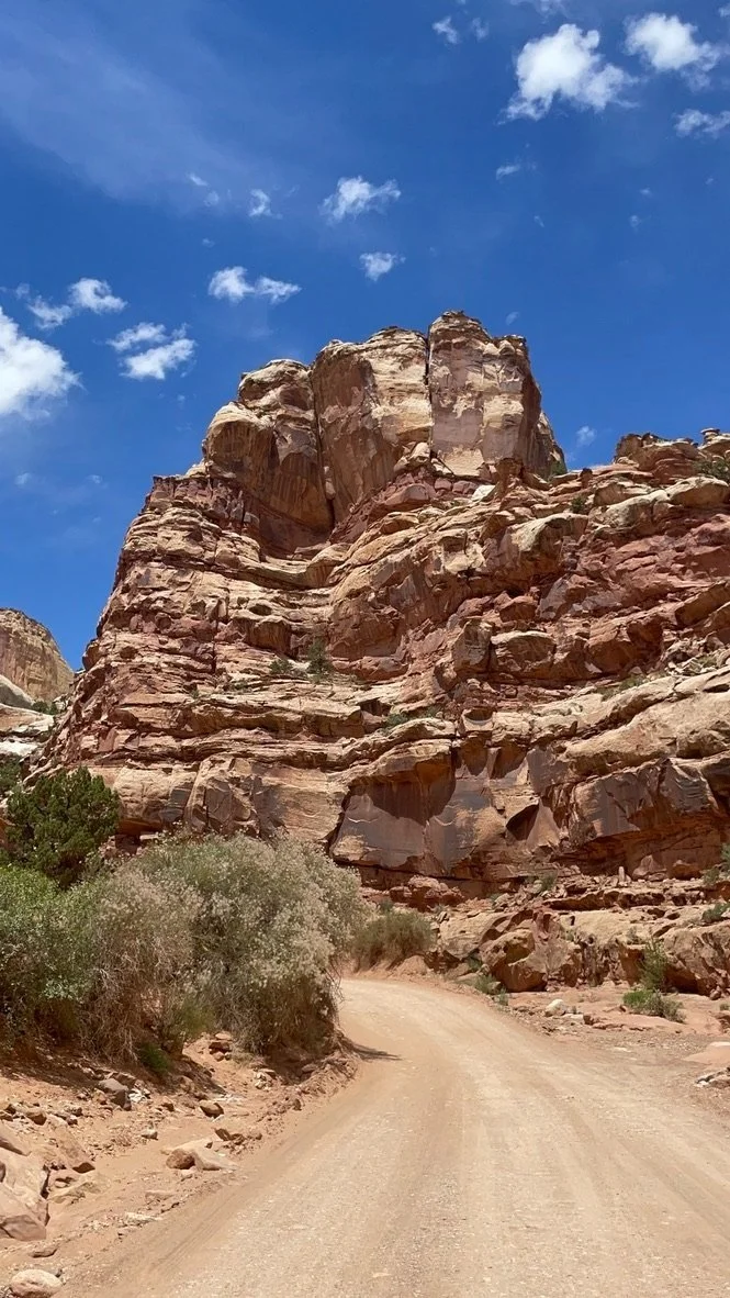
It feels like everything is on a 45-degree angle. The lines in the rocks have been pushed up so much. We hit Cassidy Arch of Grand Wash Road, and then we went back to Fruita to get tohose coveted Junior Ranger badges.
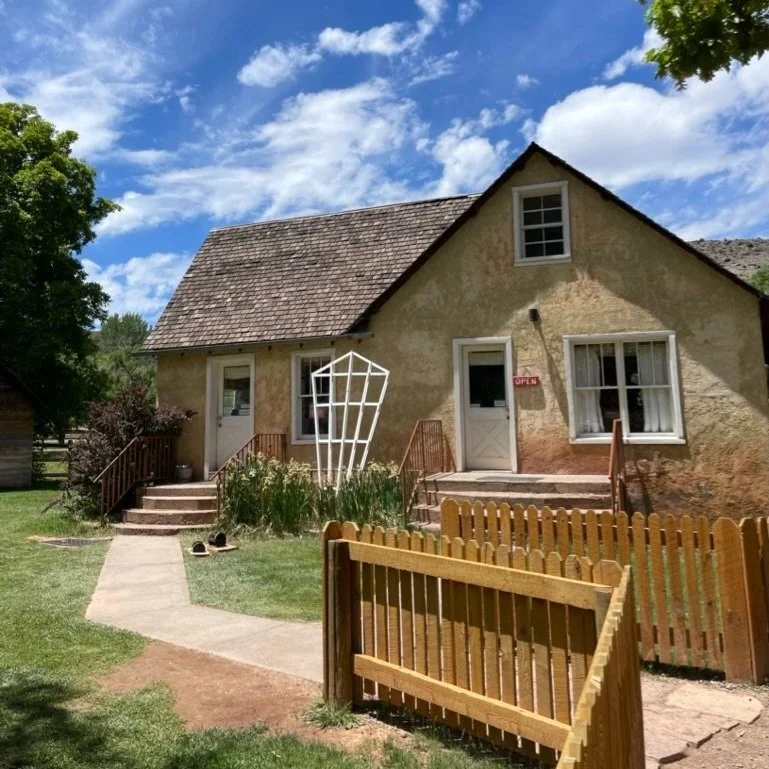
And then it was pie time. The Gifford House is an old farmhouse near the Fruita campground, which meant — for us — it was walking distance from our campsite. We found a couple opportunities to stand in line for pie. Mostly because they were so good on day one, we had to get some to go before we left the Park.
Have we mentioned the pie? You should try the pie!
That day we also dropped into the Fruita Schoolhouse and the Petroglyph Panel along Highway 24. An afternoon of reading in the stream was followed by dinner and s’mores. A few clouds got in the way of a Ranger-led astronomy talk, but all in all the evening was nearly perfect.
The next morning was the biggest hike we endeavored to take in Capitol Reef. Cohab Canyon plus the Hickman Bridge Loop netted out around 6.7 miles and was an idea early morning adventure.

We packed our pies and headed out toward Moab for Arches and Canyonlands.